Explore Montréal
A free interactive map of Montreal's old streets, markets and neighbourhoods: 234 places, from the Old Port to the bagel bakeries of Mile End.
Events and live music on these dates.
Filters
234 places
Saved events
Add all saved events to calendarNo saved events yet. Use the heart on any event to keep it here.
No events in these dates
Try other dates or clear the event filters.
Saved gigs
No saved gigs yet. Use the heart on any gig to keep it here.
No gigs in these dates
Try other dates or clear the genre and area filters.
Saved places
Open saved places in Google MapsNo saved places yet. Use the heart on any place to keep it here.
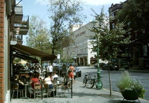
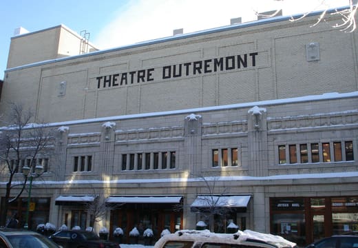
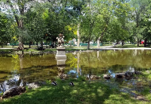
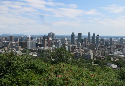
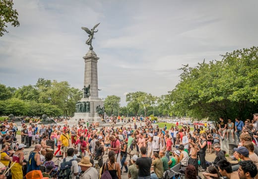
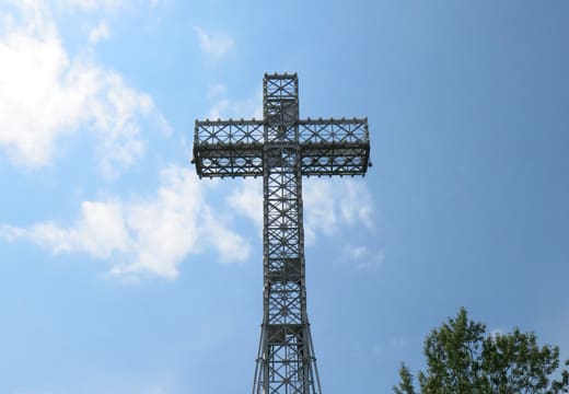
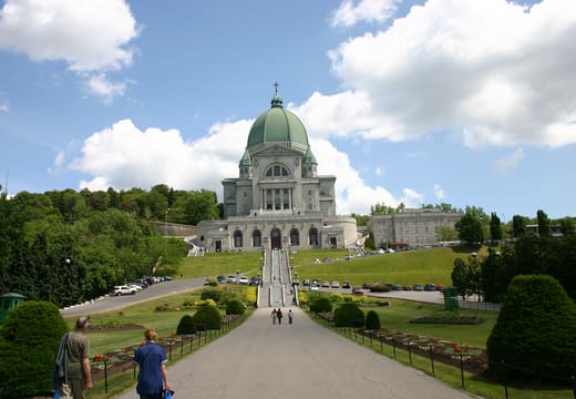
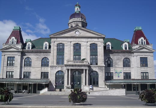
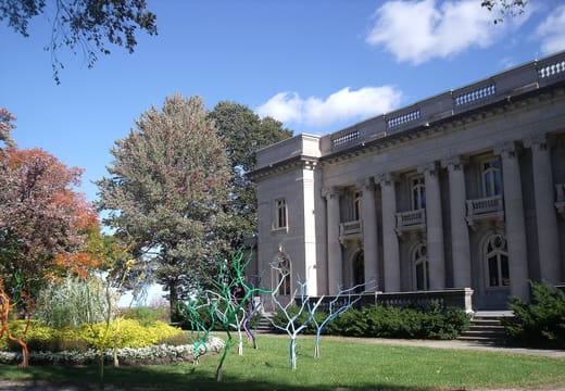
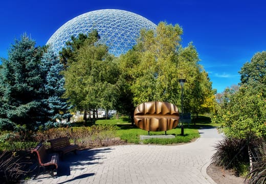
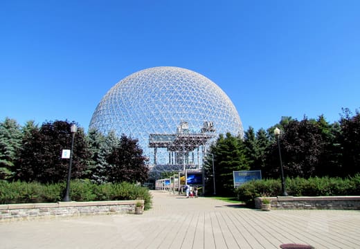
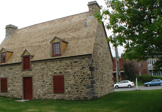
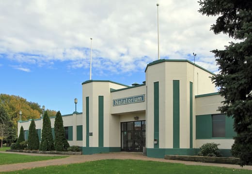
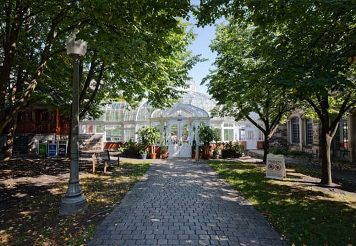
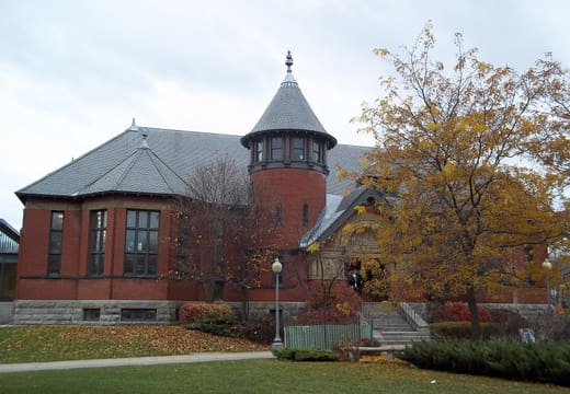
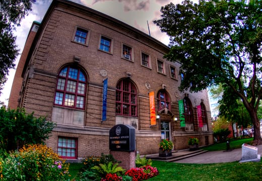
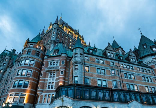
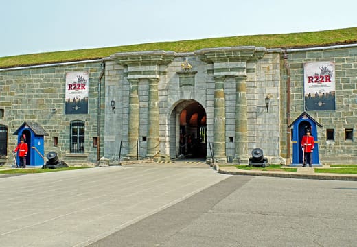
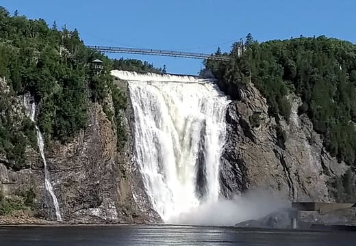
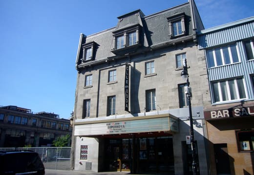
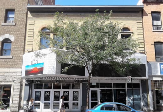
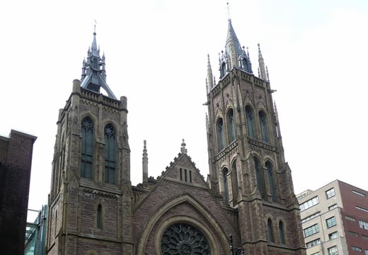
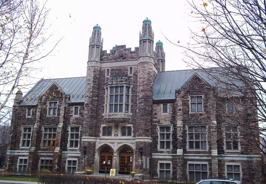
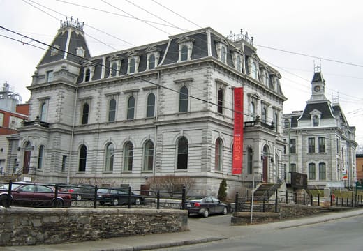
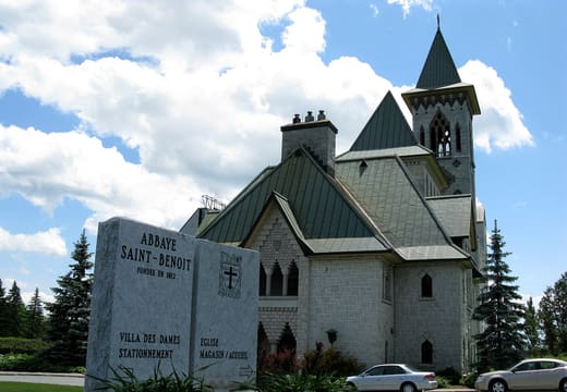
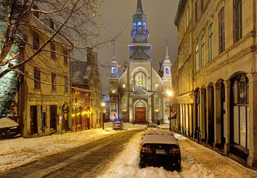
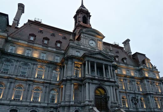
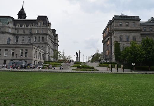
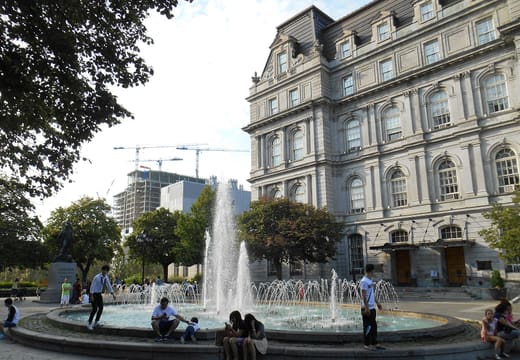
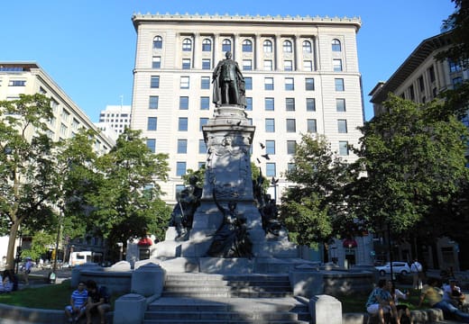
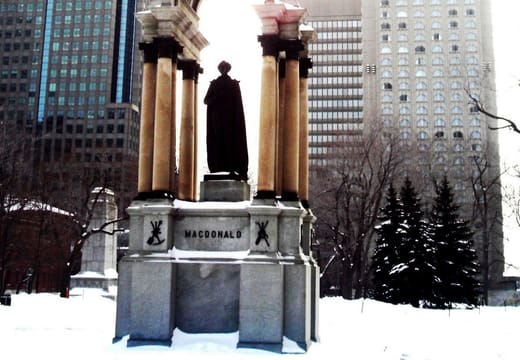
Nothing matches
Try a different search or clear the filters.
About this Montréal travel map
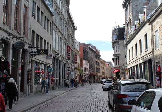
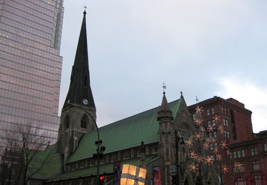
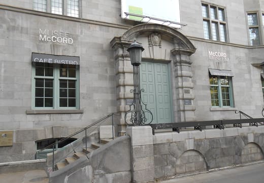
This is a free interactive map of Montréal's sights and neighbourhoods, with 234 places. Notre-Dame Basilica, Mount Royal, the Jean-Talon Market and the Old Port are on it, along with museums, parks, bars and day trips to Quebec City, the Eastern Townships and Mont-Tremblant. Filter by category or tag, search by name or neighbourhood, save favourites, and export them to Google Maps as a walking route. Every place links to a full page with the nearest Metro station and how long to allow.
Top Montréal sights on the map
Pick a district and start with its biggest draws. Each name links to its own page, with the full map just below.
Old Montréal
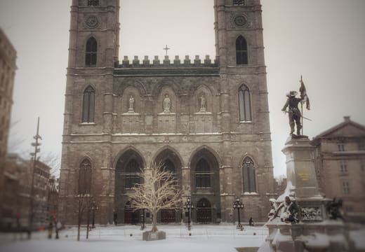
- Notre-Dame Basilica · Church
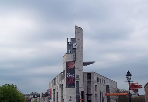
- Pointe-à-Callière · Museum
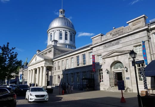
- Bonsecours Market · Market
- Olive et Gourmando · Cafe
Downtown and the Quartier des spectacles
- Place des Arts · Landmark
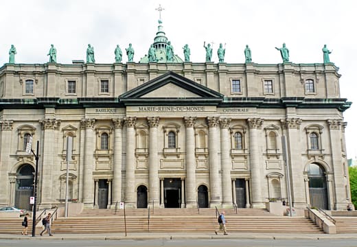
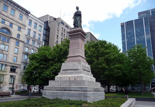
- Mary Queen of the World Cathedral · Church
- Underground City (RÉSO) · Landmark
- Montreal Museum of Fine Arts · Museum
The Plateau and Mile End
- Schwartz's Deli · Food
- Parc La Fontaine · Park
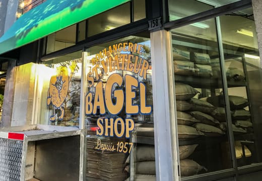
- St-Viateur Bagel (Mile End) · Food
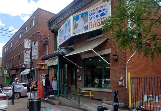
- Fairmount Bagel · Food
Mount Royal
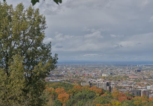
- Mount Royal Park · Park
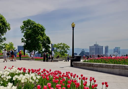
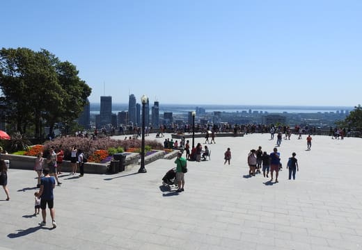
- Kondiaronk Lookout · Viewpoint
- Saint Joseph's Oratory · Church
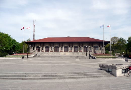
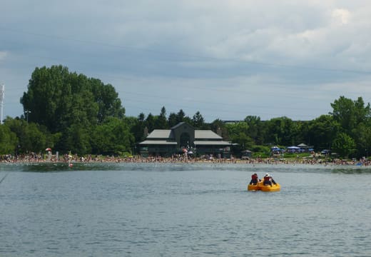
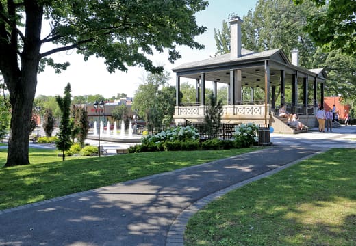
- Beaver Lake Pavilion · Landmark
Olympic Park and the Botanical Garden
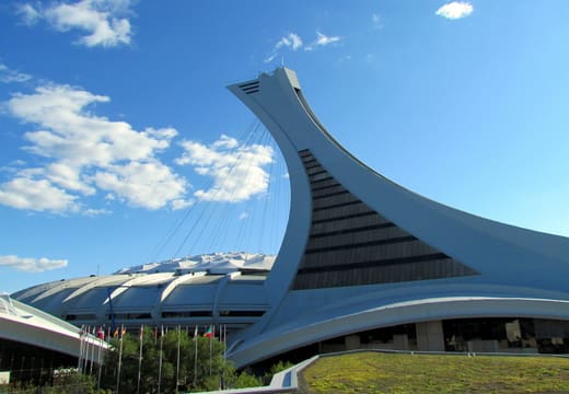
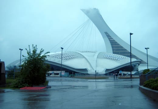
- Olympic Stadium · Landmark
- Biodôme · Museum
- Marché Jean-Talon · Market
- Montreal Botanical Garden · Park
Parc Jean-Drapeau
- Parc Jean-Drapeau · Park
- Biosphère · Museum
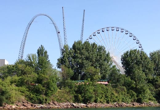
- La Ronde · Landmark
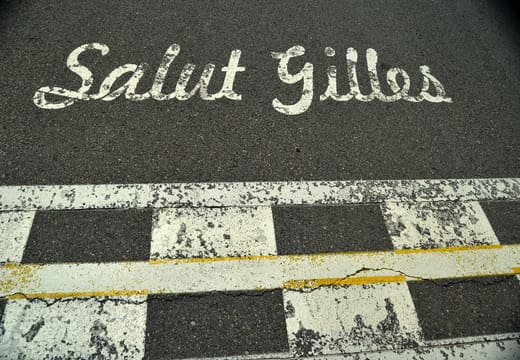
- Circuit Gilles-Villeneuve · Landmark
Griffintown and Saint-Henri
- Atwater Market · Market
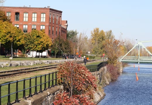
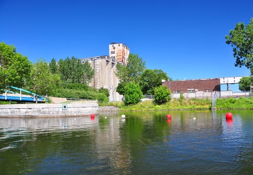
- Lachine Canal · Park
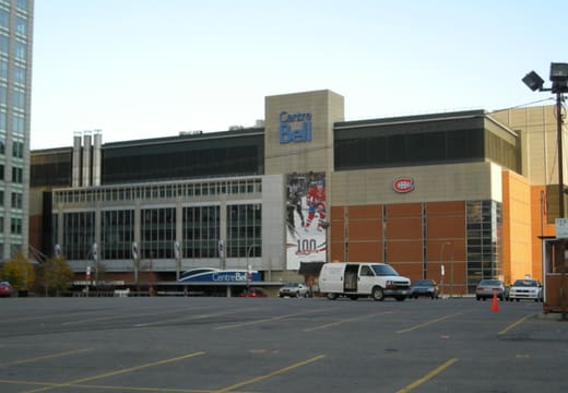
- Bell Centre · Landmark
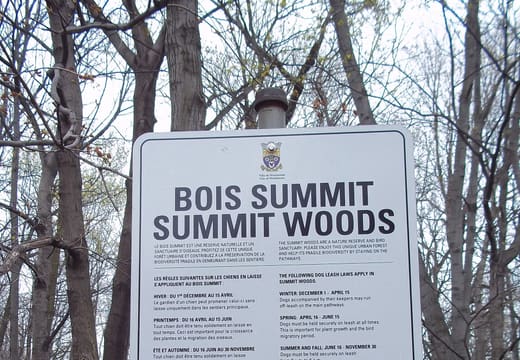
- Summit Lookout · Viewpoint
Plan an itinerary with the map
Tap the heart on any place to save it. Open Saved and press Plan my days, and your saved places and events are sorted into days by area, with walking or Metro times between stops. Open saved places in Google Maps turns up to ten of them into walking directions. Set your trip dates and the Events view shows what's on while you're here. Saved places stay in your browser, and there's no account.
Is this Montréal travel map free to use?
Yes. It's free, with no account or app download. Saved places and events stay in your browser, so your shortlist is waiting next time you open it.
Who makes this map?
Roam Montréal was founded by Daniel, who splits his time between Tokyo and Montréal and also makes Roam Tokyo, Roam Kyoto and Roam Osaka. The facts for each of the 234 places are taken from its own official page or an official body, and a fact that couldn't be confirmed is left off.
What does each place on the map tell you?
Its nearest Metro station and how long to allow, with a tip for most of them, and the places nearby with walking times. Hours, closing days and prices are shown where the place publishes them. Every place has its own page too.
Can I plan a Montréal itinerary with the map?
Yes. Every place shows what's nearby with walking times, and you can export any shortlist of saved places to Google Maps as walking directions, up to ten stops at a time.
How do I get between places in Montréal?
Each place names its nearest Metro station. The Green and Orange lines link most of the areas visitors use, so a base near either puts a lot of the map within a few stops. Old Montréal, the Plateau and Mount Royal are also easy to cover on foot.
Live music here
From the blog
Nearby
Listing in Japanese. Titles are shown as the venue prints them.
Listings come from each venue's own schedule. Shows change, so check the venue listing before you go.
You're offline, showing saved and cached places
Tap Share (the square with an arrow), then Add to Home Screen. The map then opens like an app and works with a weak signal.